 New York Know
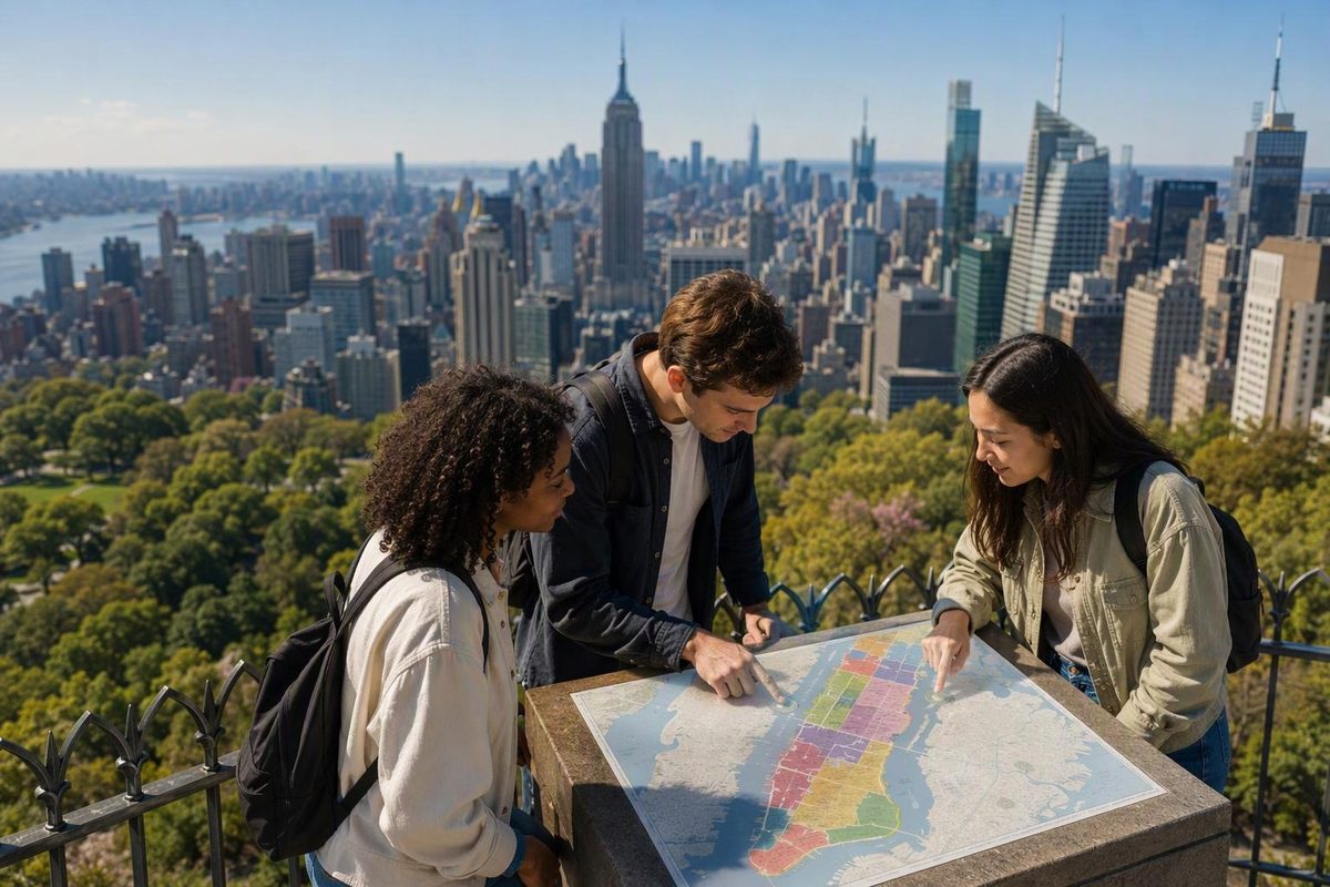
“Manhattan districts” can refer to named areas such as the Financial District and Theater District, or to Manhattan’s 12 official community districts. Business improvement district maps add another layer: they show an organization’s service area, not necessarily the neighborhood people mean.
For sightseeing and hotel searches, named areas are usually more useful. For finding a community board or checking a civic boundary, use the numbered districts. NYC’s community-board guide confirms that Manhattan has 12 community districts.
Named districts visitors are likely to encounter
These four names help orient a first trip. They are not an exhaustive division of Manhattan, and the suggested pairings are planning advice—not official boundaries.
| District | Where to orient yourself | What to build around it | Suggested nearby pairing |
|---|---|---|---|
| Financial District | Wall Street in Lower Manhattan; Federal Hall is at 26 Wall Street | Historic streets, architecture and waterfront walking | The Battery or the Seaport |
| Theater District | Midtown’s theater cluster around Times Square; the Times Square Alliance directory lists theater addresses | A performance, with dinner and a short walk nearby | One compact Midtown sightseeing cluster |
| Garment District | Midtown; the Button & Needle sculpture at Seventh Avenue and West 39th Street is a useful marker | Fashion-related businesses and public art | Bryant Park or Times Square |
| Meatpacking District | Manhattan’s west side; NYC Tourism’s guide groups the Whitney Museum, shops and High Line here | An art visit and surrounding streets | Chelsea or the West Village—choose one direction |
Flatiron is another district name worth recognizing. A useful orientation point is Broadway, Fifth Avenue and 23rd Street, where the Flatiron Plazas sit beside Madison Square Park. NoMad means “North of Madison Square Park”; it is an adjacent area, not another name for Flatiron. The Flatiron NoMad neighborhood overview distinguishes the two.
Why maps show different boundaries
New York City does not officially define neighborhood boundaries or maintain a single official neighborhood map, as Columbia University’s neighborhood-research guide explains. Treat familiar labels as orientation aids rather than exact borders.
A business improvement district, or BID, has a defined service area. That map answers a different question from “Where does this neighborhood begin?” For example, the Flatiron NoMad Partnership’s service area expanded in January 2022 to include NoMad and additional streets. Its boundary map shows the organization’s coverage, not a division of Manhattan into tourism neighborhoods.
Before booking a hotel, map its entrance, nearest useful subway station and your evening destination. Two hotels using the same district label can produce different daily journeys. For a broader comparison of bases and walkable neighborhood pairings, use our Manhattan areas planning guide.
How to find an official numbered district
Manhattan’s 12 community districts are each represented by a community board. These are civic areas, not 12 sightseeing neighborhoods. For an address-specific check, follow the boundary-map link on NYC’s Find Your Community Board page.
One detail can make official maps confusing: Central Park is classified separately as a Joint Interest Area, rather than being contained within a community district. The Department of City Planning’s district dataset explains this classification.
Use numbered districts when your task requires a community-board boundary. Use neighborhood names—and then exact addresses—when planning your trip.