 New York Know
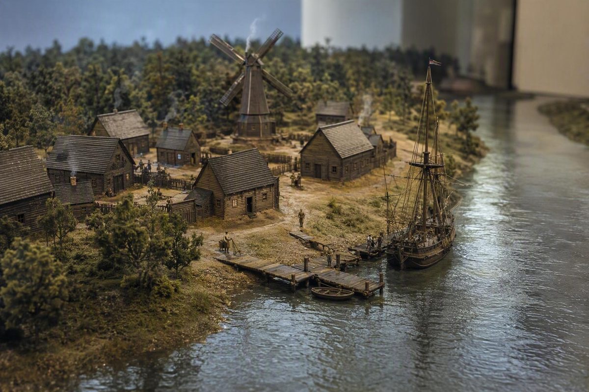
New Netherland was centered on present-day New York, along the Hudson River between Albany and Lower Manhattan. The seventeenth-century Dutch colony also had settlements, trading posts and claims in parts of present-day New Jersey, Connecticut, Pennsylvania and Delaware. It was larger than New York City and did not share the boundaries of modern New York State.
The National Park Service’s history of New Netherland describes a colony organized around waterways and trading settlements. Think of connected places along rivers, with wider disputed claims around them, rather than a single modern state.
Match The Colonial Places To Modern Locations
| Colonial place | Where to look today | Why it matters |
|---|---|---|
| New Amsterdam | Lower Manhattan, New York City | Colonial capital and harbor settlement |
| Fort Orange and Beverwijck | Albany, New York | Upriver settlement and trading center |
| Rensselaerswijck | Albany and Rensselaer counties, New York | An estate around the upper Hudson |
| Swaanendael | Near Cape Henlopen, Delaware | An early settlement beyond the Hudson core |
Start with Albany and follow the Hudson south to New York Harbor. That line connects the colony’s two best-known centers. Then look toward western Long Island, New Jersey and the Delaware River, with another area of Dutch activity along the Connecticut River.
These are approximate modern equivalents. They identify places associated with the colony; they do not draw its legal boundaries for a particular year.
New Amsterdam Was The City; New Netherland Was The Colony
New Amsterdam occupied the southern end of Manhattan. New Netherland was the larger colony of which it was the capital. The surviving Castello Plan depicts New Amsterdam in 1660; the New Netherland Institute’s map collection helps place the city within the wider colonial geography.
This distinction explains a common source of confusion. New Amsterdam became New York City, but describing all of New Netherland as “old New York City” leaves out Albany and the colony’s other settlements. If you are visiting the capital’s modern location, begin in Lower Manhattan.
Claimed Territory Was Larger Than Settled Territory
Accounts sometimes describe Dutch claims stretching from the Delmarva Peninsula toward Cape Cod. That is a description of broad ambitions, not evidence of continuous Dutch settlement or uncontested control across the entire area.
Three different maps can therefore show different things:
- A settlement map locates towns, forts, farms and trading posts.
- A claims map shows territory a European power asserted it possessed.
- A modern reference map uses today’s state lines to help readers locate those places.
The Historical Society of the New York Courts documents the colony’s territorial claims and changing political control. European claims also overlapped Indigenous homelands; a colonial boundary line does not establish that land was empty or ownership uncontested.
For a school assignment or a quick map label, use “Hudson River region, centered on present-day New York, with settlements and claims in neighboring states.” Add a date if you need a precise historical boundary.
Why The Colony Is Closely Associated With New York
England took New Netherland in 1664, and New Amsterdam was renamed New York. Dutch control briefly returned in 1673 before the territory reverted to English rule in 1674. That sequence, together with the Hudson-centered settlement pattern, explains the enduring association with New York.
The useful distinction is geographic: New York was the core, New Amsterdam was the capital, and New Netherland was the wider colony.